Charts provide information essential to your safety afloat. Even with GPS and electronic navigation, the chart is needed to tell you what is around you and between you and your intended destination. A system of symbols is used by cartographers to tell you what lies below the surface of the water and the depths of water. There is key information about visible landmarks and navigation aids to help you navigate your course. The chart also is your link with the GPS via its grid scale, compass rose, and distance scales. A brief introduction to latitude and longitude provides insight to the operation of GPS receivers.
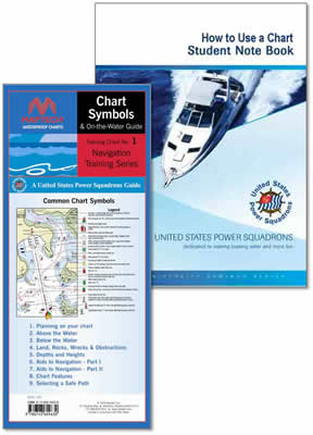
The NOAA Chart No. 1 is the quintessential reference to chart details, but is very difficult to understand. This seminar walks you through what you really need to know in an entertaining and interesting fashion, and provides you with a Maptech Waterproof flip-fold waterproof Chart Symbols and On-the-Water Guide to take along on the boat with you. In addition to showing you all about your chart, this seminar walks you through the essentials of laying out a safe course, steps to measure a course with the USPS plotter, and even a quick guide to the rules of the road.
View the trifold brochure here. This Seminar is available on line at the University of West Florida. http://uwf.augusoft.net/index.cfm?method=ClassListing.ClassListingDisplay&int_category_id=4&int_sub_category_id=170 |